Heading from Shropshire over to Cardigan Bay, this stunning 84-mile joyride is sure to put a smile on your face. Dave Manning reveals all…
The ride in brief: The route covers roads great and small. This is not a fast ride; the roads can be busy, and they are best enjoyed at a leisurely pace. There are plenty of places to stop along the way for coffee, culture, or a very cold dip in the sea. Give yourself a full day for this ride, that sits a little under 100 miles all in.
For this Winter Ride, focussing within Wales, I decided on starting from Oswestry, the town of my birth. Now, while the town isn’t actually in Wales, but a spit over the border into Shropshire, it could be argued that it wasn’t the right place to start for the Welsh Winter Ride. However, when I was born my sisters were both at school in Oswestry, and were both taught Welsh, so that’s close enough for me…
The plan was to ride across the country, heading west, to end up at the coast for the potential of warming fish and chips. And, with it being in the colder half of the year, and with an awareness of how bleak the conditions can get when riding through Snowdonia or into the Brecon Beacons, the decision was made to stay away from the more remote areas and higher altitudes.

So, an easy place to start is at the services on the A5, just outside of Oswestry, an easy point to get to from the Midlands, via Shrewsbury, or from further north by using the A483 from Chester and past Netflix-promoted Wrexham. It’s worthwhile filling up with fuel here, as if you decide to spend any time off-piste, you may struggle to find a petrol station in the wilds of Wales, given not only that so many smaller filling stations have closed, but also because even the larger ones may be closed on a Sunday (or, bizarrely, occasionally during the week, too).
Croeso i Gymru
Alongside my two KTM-mounted colleagues, Andy and Graeme, we left the services roundabout on the A483, headed past Sweeney Hall and Llynclys Farm shop, before turning right on to the A495 and following the road as it becomes the B4396 when the A495 forks left for Machynlleth. You’ll finally cross the border into Wales along this piece of curvaceous Tarmac, about seven miles after your fuel/coffee/breakfast stop at the services, and you’ll be feeling the draw of the Welsh countryside by now.
After you’ve passed the Fork Handles Farm Shop (yes, really) on the right, you’ll soon see signs to the right for Llanrhaeadr-ym-Mochnant, which is an easy and quick diversion to go and look at the very impressive Llanrhaeadr waterfall, which will be in full spate during the winter months, although the little dead-end lane that runs to the falls (and the café right next to them) is narrow, and will be greasy and leaf-ridden, so take your time!
Another few miles along the B4396 you’ll arrive at a T-junction, turning right on to the B4391, signposted for Bala. This is a beauty of a road, with the hills of the eastern edge of Snowdonia ahead of you as you begin to climb. You’ll shortly ride through Pentre and then Llangynog, with the New Inn on the right-hand side being convenient accommodation for the nearby off-road school operated by Dakar legend, Mick Extance. There was also the Revolution Bike Park mountain bike organisation close by, but sadly this closed down on January 2, thanks to the larch trees in the forestry surrounding the park being infected by phytophthora ramorum, a nasty pathogen that also causes the Sudden Oak Death disease.

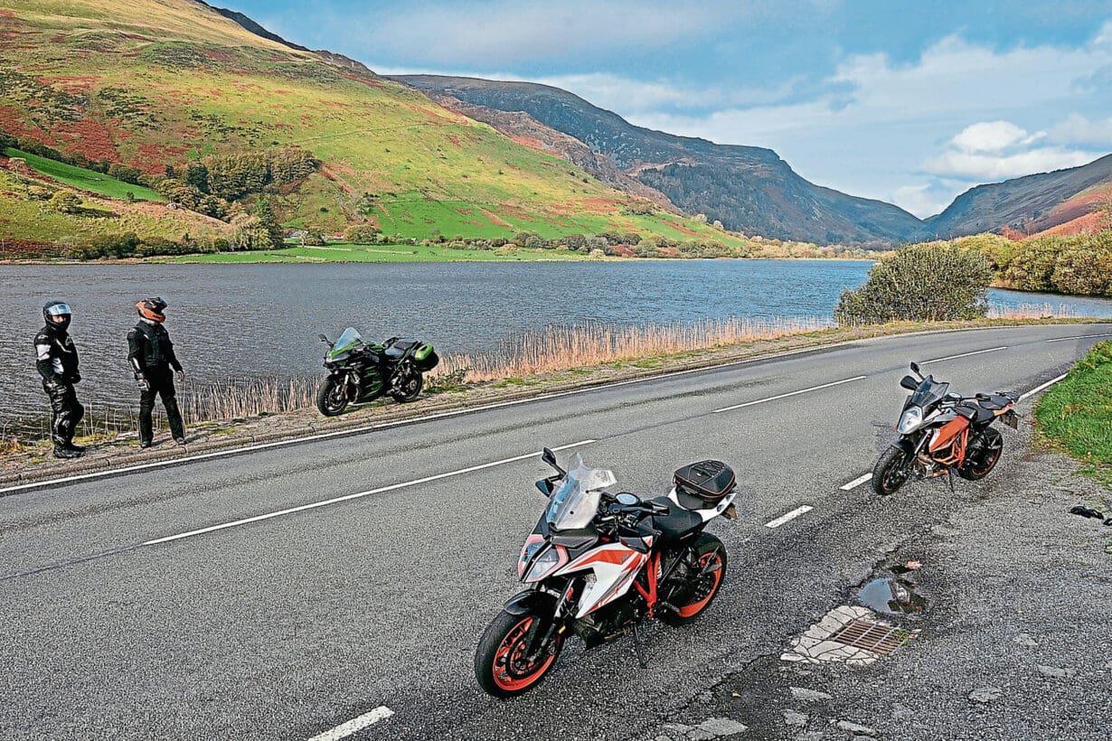
We stopped for pictures along the climb up on to the moors overlooking Lake Bala (actually called Llyn Tegid). It can get incredibly bleak here if the weather isn’t playing ball, making the twisting drop down into Bala town itself rather welcome. Once in Bala, we turned left to ride through the middle of the town on the A494 and to the café at the end of the lake for a warming cuppa. Although, this time, the café was closed, so no brew for us – we’d have to wait.
There are a few cafés in the town though, but having stopped, taken a few pics by the lake and had a chinwag with a few fellow motorcyclists also out for a midweek ride, we were keen to keep moving, so threaded ourselves back through Bala, this time turning left at the eastern end of town and on to the A4212 heading for Trawsfynydd.
White water and history
The fact that this road passes the National White Water Centre gives a clue as to the contours through which it travels, but you also pass the Frongoch Internment Camp, a makeshift place of imprisonment during the First World War and subsequently the 1916 Easter Rising, when over 1600 Irish Republicans were held there, the camp later becoming known as the ‘University of Revolution’, thanks to the way the Republicans could train and influence other inmates!
After passing Llyn Celwyn on the left, with little hope of spotting the flooded village of Capel Celwyn in wintertime – the lake being a manmade reservoir that flooded the village in 1965 – the road begins to drop down towards Trawsfynydd, and the junction with the A470.
It’s a big, fast, open road, with some superb views, and so happens to go past the mountain bike centre at Coed-y-Brenin, which rather conveniently has a café and toilets. It’s an ideal stop for a warming stew, chunk of fresh bread and a brew. Although it was something of a last-minute decision for us, requiring a jump on the brakes and some frantic indicating, but a great decision thanks to the great food and charming high-level café.
Fed and watered, it was back out on to the A470, continuing south away from Llyn Trawsfynydd and its hydro-electric powerplant, bypassing Dolgellau and then turning right at the Cross Foxes Inn, on to the A487, and the road that is well known for fans of military aviation. For this is the road that goes through the area known as the ‘Mach Loop’, a valley renowned for its views of Royal Air Force jets flying at low level. So low, in fact, that it’s possible to clamber up the valley sides and actually be at a point above the planes as they fly past! But we didn’t stop, did no clambering and saw no aircraft, as we were keen to press on towards the coast.
Dropping down from the valley, ahead you can see a glorious lake, Llyn Mwyngil, that the main road veers south to avoid. Fortunately, there’s a right-hand turn, signposted for Tywyn, that snakes away from the main road to then follow the southern edge of the lake. There’s a pub on the left, just as the lake starts to taper off – the Tyn-y-Cornel Hotel – that has a slate wall inscribed with fish that have been caught in the lake – ‘brown trout 5½lb, 2nd September 72’, etc.
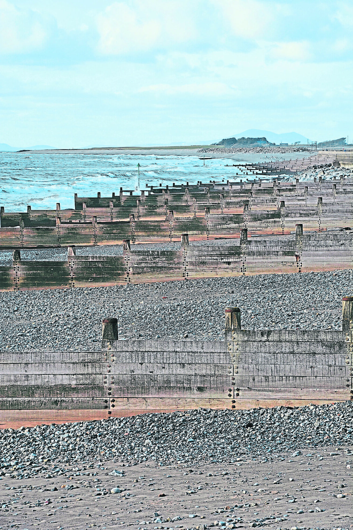
The road soon starts to level off, and you see the evidence of holiday caravan sites before you arrive at Tywyn itself. A trundle straight through the town, following signs for the railway station and the beach, and you find yourself in a car park with a truly tremendous view of this part of the Welsh coast, look northwards towards the Llyn Peninsular and Anglesey, and south into Cardigan Bay, Aberyrstwyth and New Quay.
There are various options if you want to extend the route by following the coast north or south, retracing your route inland and then heading south on the A493 to Aberdyfi, or just finding a nearby hotel or pub to warm yourself in front of an open fire.


